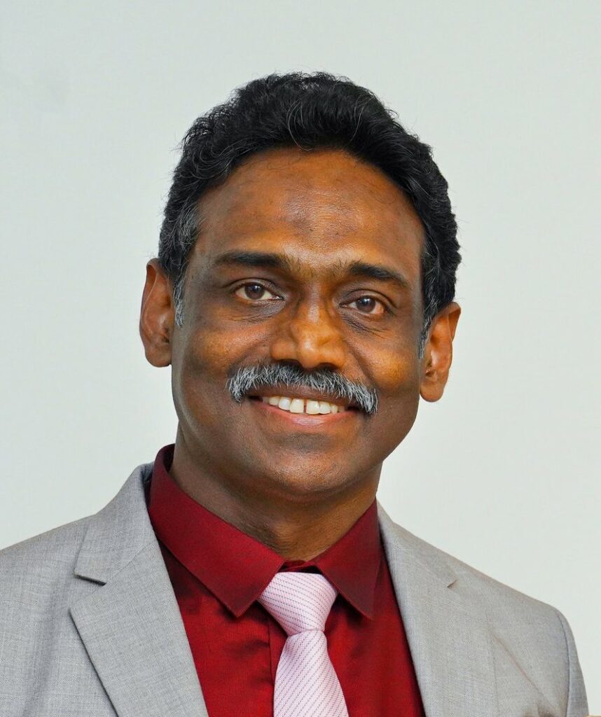
Dr Abraham Thomas is a Remote Sensing & GIS Specialist holding a PhD degree in Earth Sciences and a Master of Business Leadership degree with 30 years & 6 months of work experience (managerial/administrative, research & development, academic and supervisory roles) in the fields of Geology, Hydrogeology, Hydrology, Remote Sensing & GIS and Environmental Science. His areas of specialisation are Hydrogeology, Hydrology, Remote Sensing, GIS, and Mineral Exploration. He has applied Remote Sensing and GIS technologies for water resources management and for studying natural resources. His work experience spans in many fields (geology, hydrology, mineral resources, geohazards, mapping of land use/land cover, surface deformation, resource constraints, environmental monitoring, ecology, environmental impacts etc).
Dr Thomas has sufficient knowledge and experience in governance and managing the core functions of different Departments/Units of CGS under various capacities and as the Head of the Earth Sciences Department at the University of the Western Cape and also as Project Leader, Team Leader, and Supervisor of Post Graduate students etc.) comprising scientific and technical staff, Interns, research staff, academics and students. Dr Thomas has experience in leading and conducting research to improve natural resource management in different roles (over 20 years of management/administration/supervisory experience in natural resource management including water using Earth Observation technologies).
Dr Thomas is registered as Professional Natural Scientist (Pr. Sci. Nat.) & Professional Geo-Information Science Practitioner (GISc. Pr.).
He has obtained the National Research Foundation (NRF) rating as an Established researcher (C2 Category) for five years (2022 to 2027).
He has the ability and tolerance to manage a diverse team of professionals (geologists, hydrologeologists, hydrologists, GIS & Remote Sensing specialists, researchers etc.) and to undertake and manage multidisciplinary research projects (studies on geology, mineral resources, water resources, environmental geoscience, geohazards etc.).
Dr Thomas has skills/competencies, understanding and experience in many areas: research, research development, administration and management including project management, leadership, strategic thinking, strategic management and policy formulation, creative and innovative thinking, decision-making, planning, data interpretation and analytical skills, computing & geoinformatics skills (GIS & Remote Sensing applications and programming using Python, JavaScript and Avenue as part of modelling systems and tools development/creativity), mine water hydrology and acid mine drainage (AMD), formulation of hydrological conceptual models and GIS-based hydrological modelling for numerical flows and pollutant loads etc.
As publication concerns, Dr Thomas has 86 research papers (21 articles in peer-reviewed journals; 10 articles in peer-reviewed special volumes/books /bulletins, and 55 papers published in conference/symposia proceedings), 2 books and 90 research/technical reports (project deliverables).